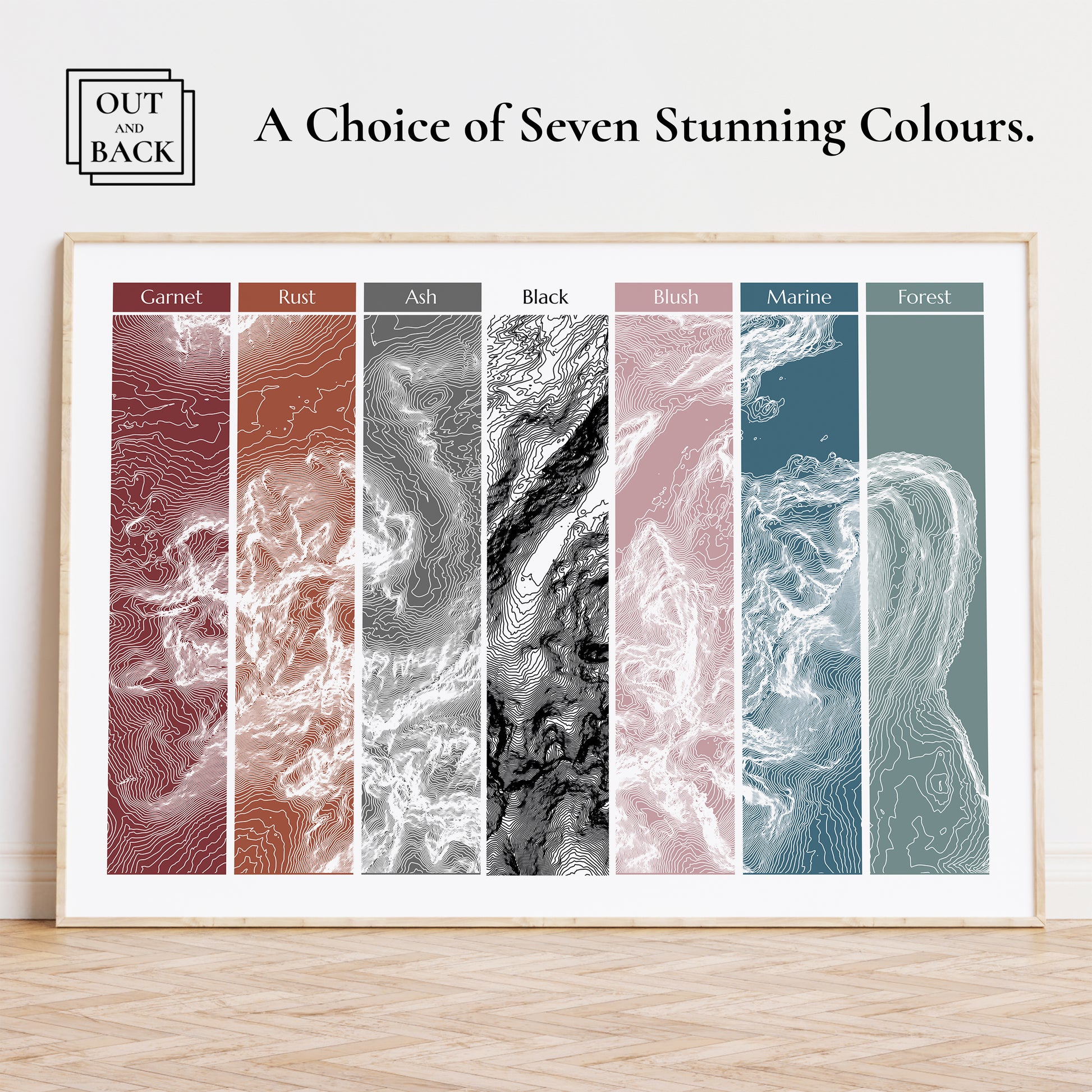
UK Three Peaks Print Topographic Map
UK Three Peaks Print Topographic Map
Couldn't load pickup availability
- Museum Grade Paper 285gsm
- Fast UK Shipping
- Print Only
Print & Shipping Info
Print & Shipping Info
✔All prints are produced using archival grade inks and 285gsm matt etching papers to ensure the highest quality and longevity.
✔Products are printed within 1-2 working days, securely packaged and then dispatched using Royal Mail Tracked 48 shipping for added peace of mind. *All delivery timeframe estimates are shown at checkout.
✔ UK 3 Peaks Poster
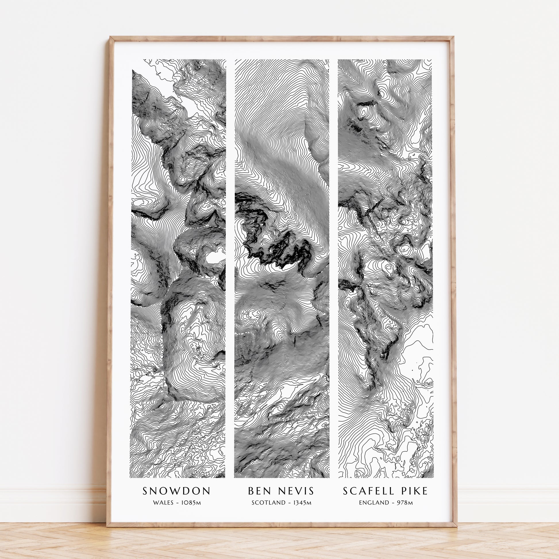
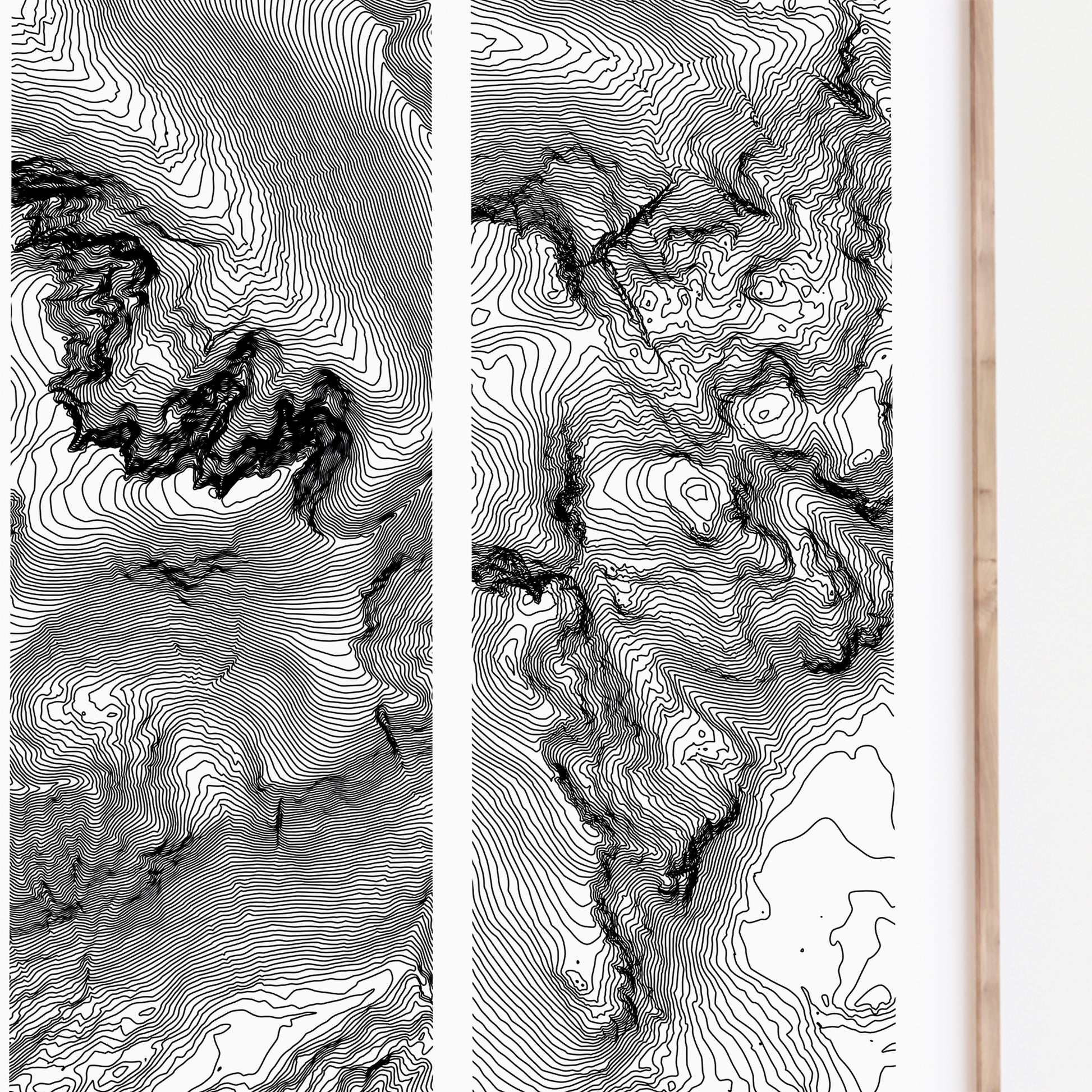
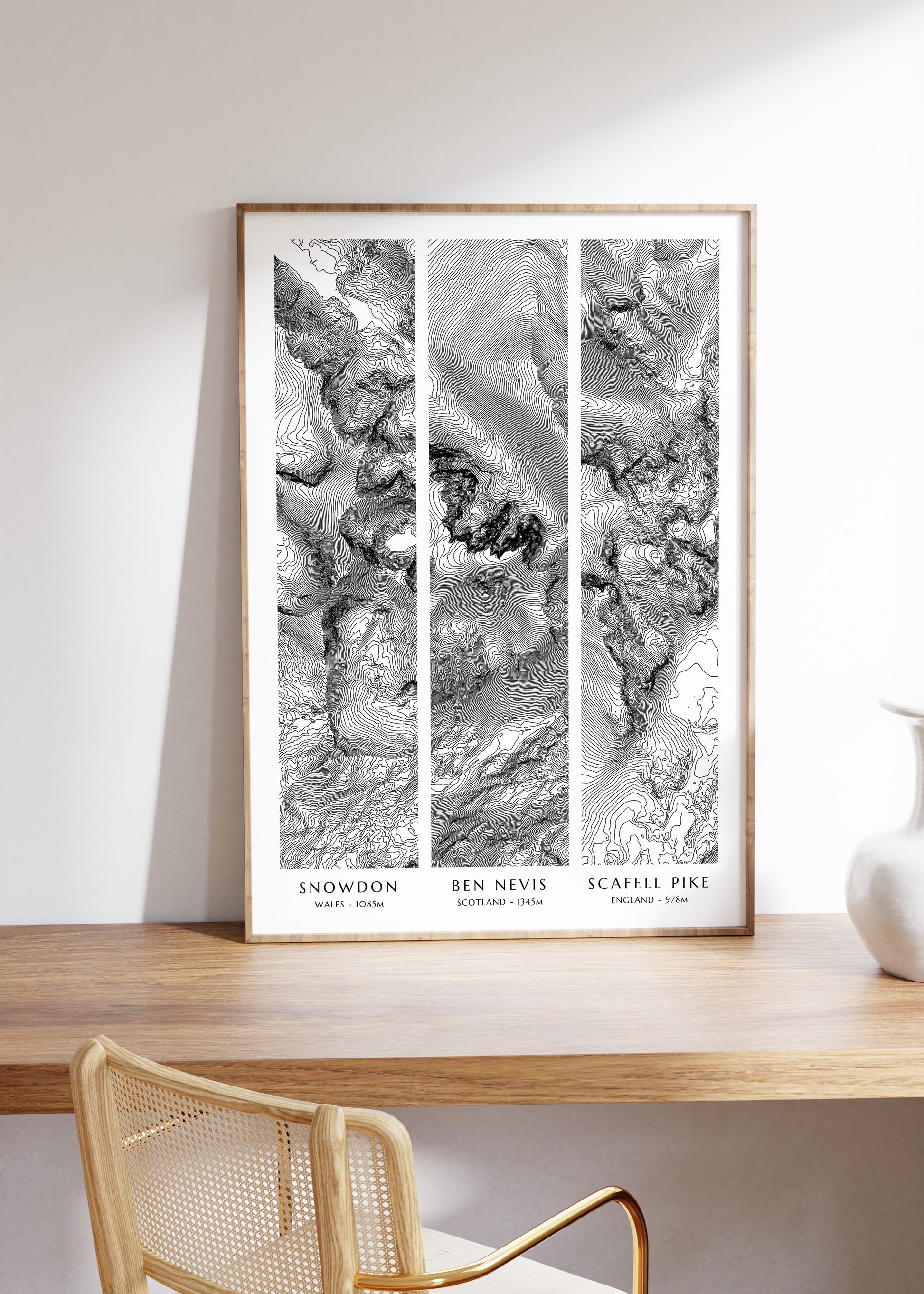
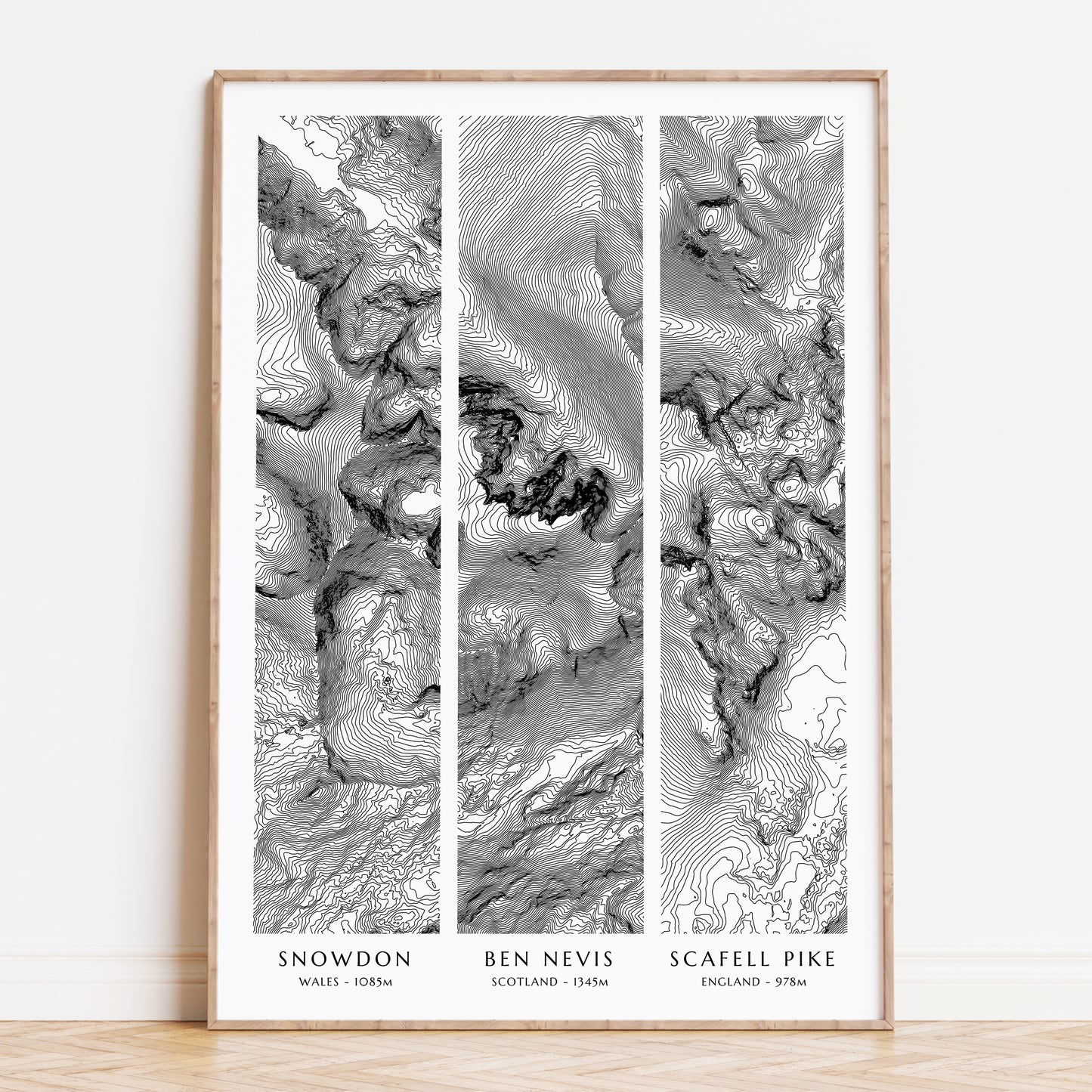
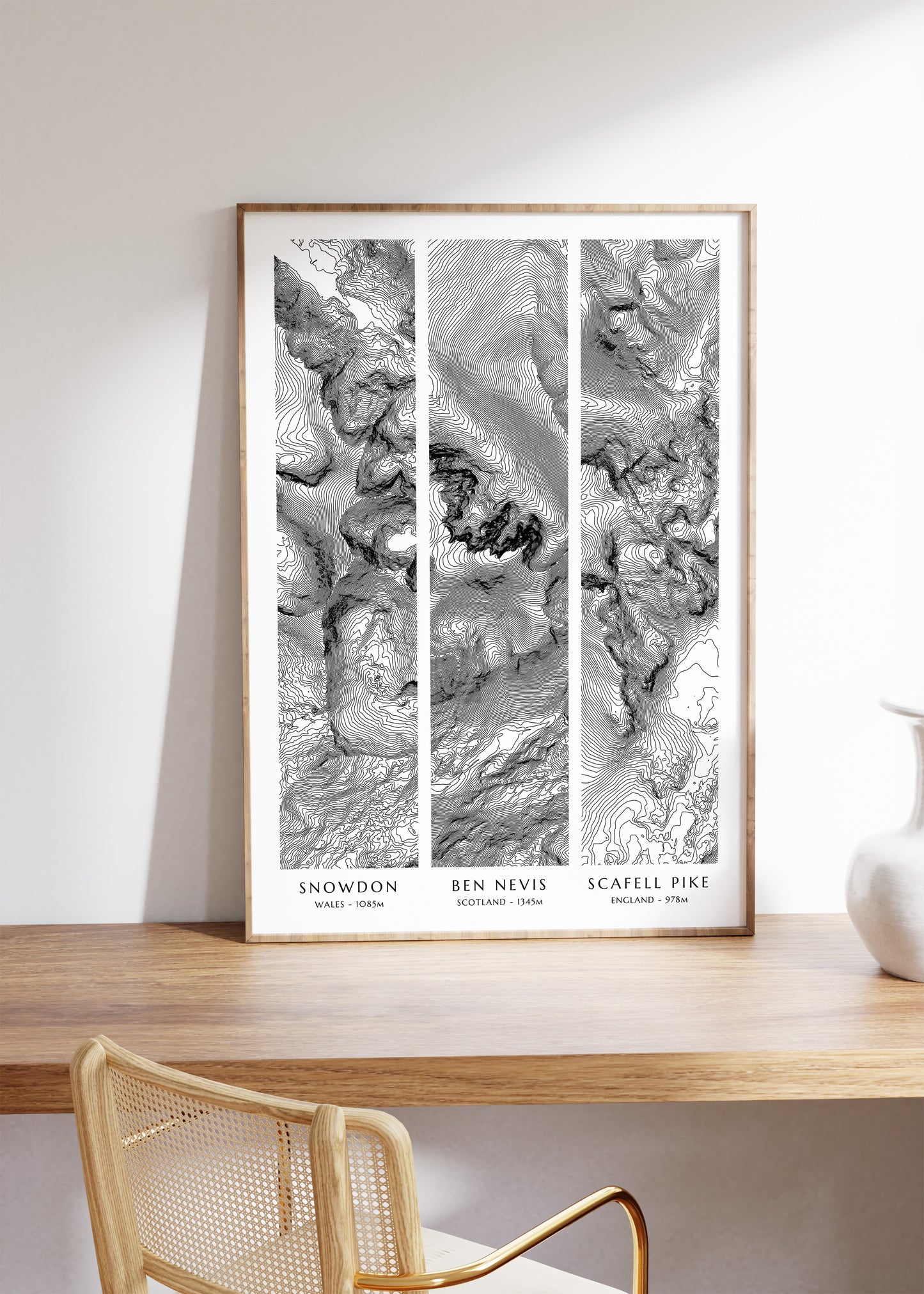
This UK Three Peaks print is the perfect mountain bagging travel poster and unique gift for a hiker, mountaineer or traveller. Like this 3 Peaks poster? We also offer a Yorkshire 3 Peaks version! This map poster is built from LiDAR derived elevation contours which detail the ruggedness and variety in elevation across landscapes, bringing the natural beauty of the world right into your home.
✔ Three Peaks Topographic Contour Map
The UK Three Peaks consist of Ben Nevis, Scotland's tallest mountain at 1,345 meters, offering rugged terrain and stunning vistas. Scafell Pike, England's highest peak at 978 meters, is known for its rocky paths and panoramic views. Snowdon, Wales' tallest at 1,085 meters, features diverse trails and breath-taking scenery. The National 3 Peaks Challenge involves climbing these mountains within 24 hours.
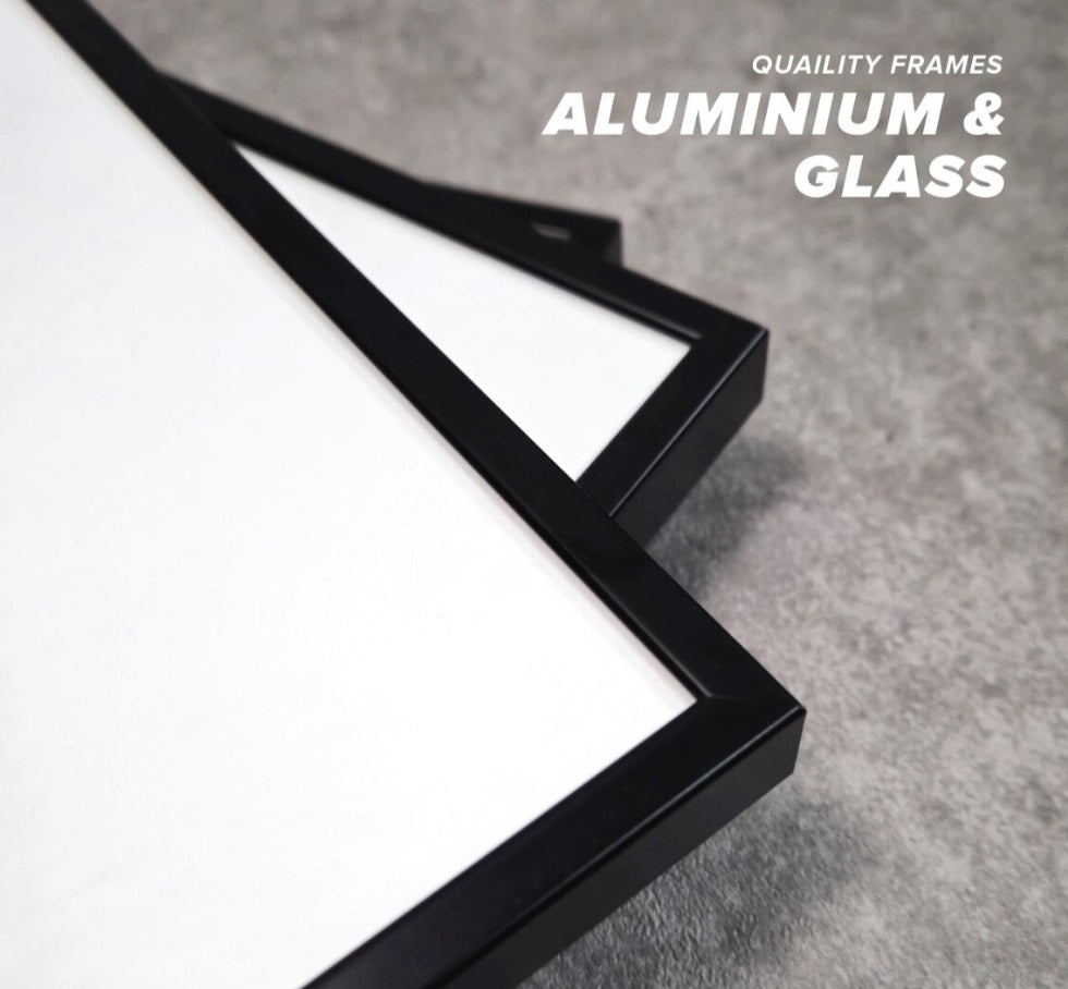
Our framed prints are only available in A3. We use high quality black aluminium and glass frames for a minimalist sleek look.
The Uk National Three Peaks Challenge
UK National 3 Peaks
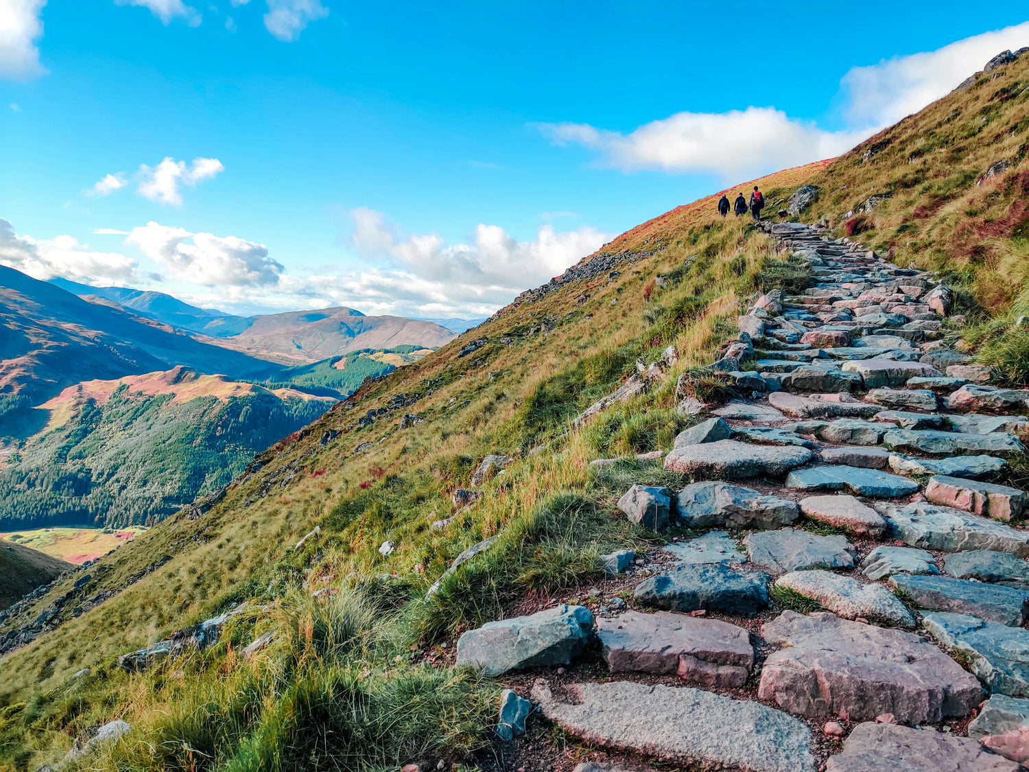
The UK National Three Peaks Challenge is a endurance event which involves climbing the highest mountains in Scotland, England, and Wales—Ben Nevis (1,345m), Scafell Pike (978m), and Snowdon (1,085m)—within 24 hours. The total walking distance is around 23 miles (37km) with an ascent of over 3,000m. It requires a high level of fitness, navigation skills, and strategic planning, often involving overnight travel between peaks. Completing it is a remarkable test of endurance, resilience, and determination.
We Know Paper
Gallery Quality Prints
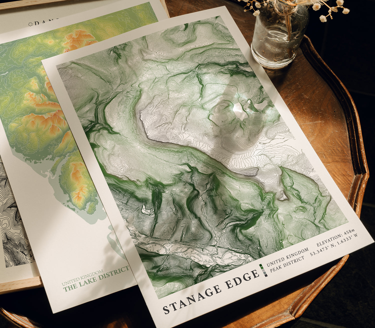
All of our art is printed on 285gsm museum grade matte paper. This medium offers a stunning tonal range and unparalleled crispness.
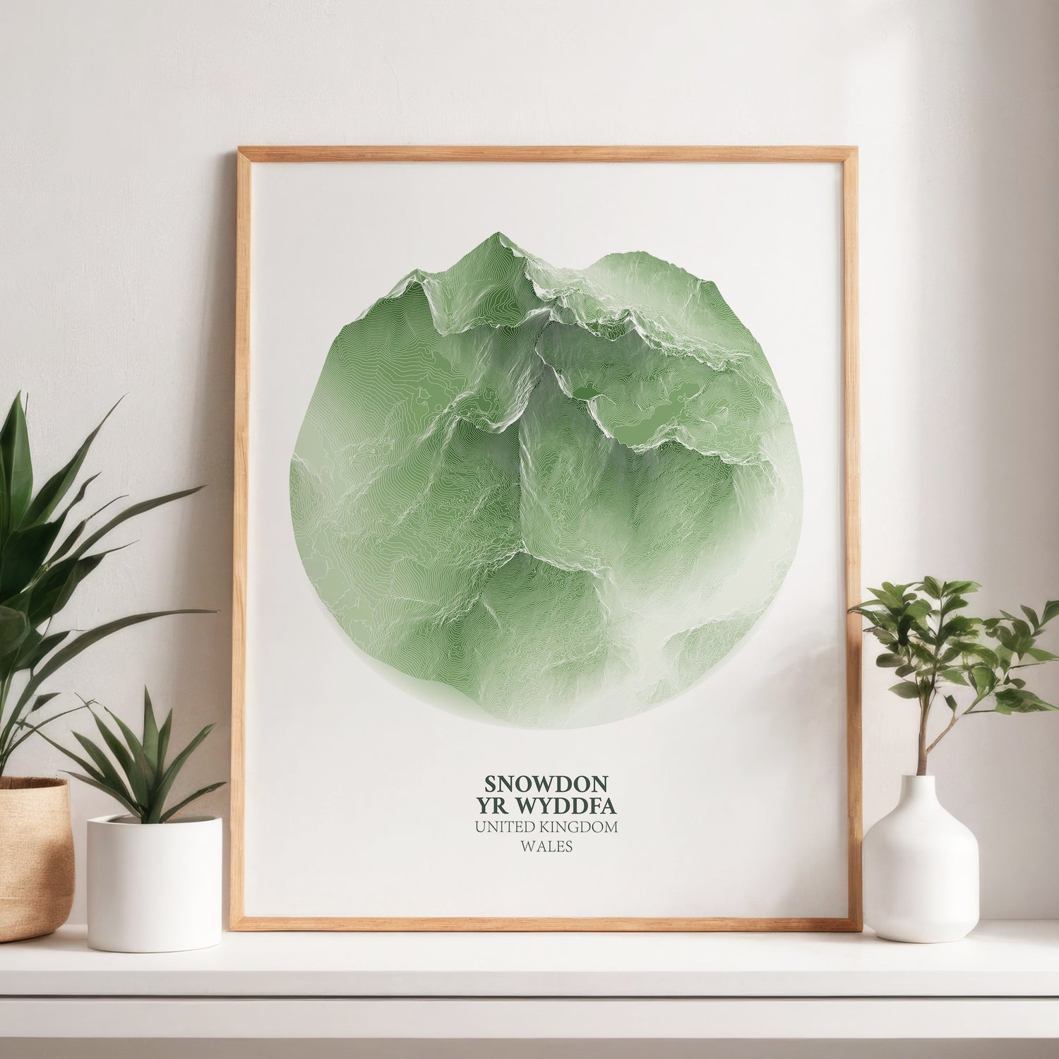
Contour Map
The Natural Landscape
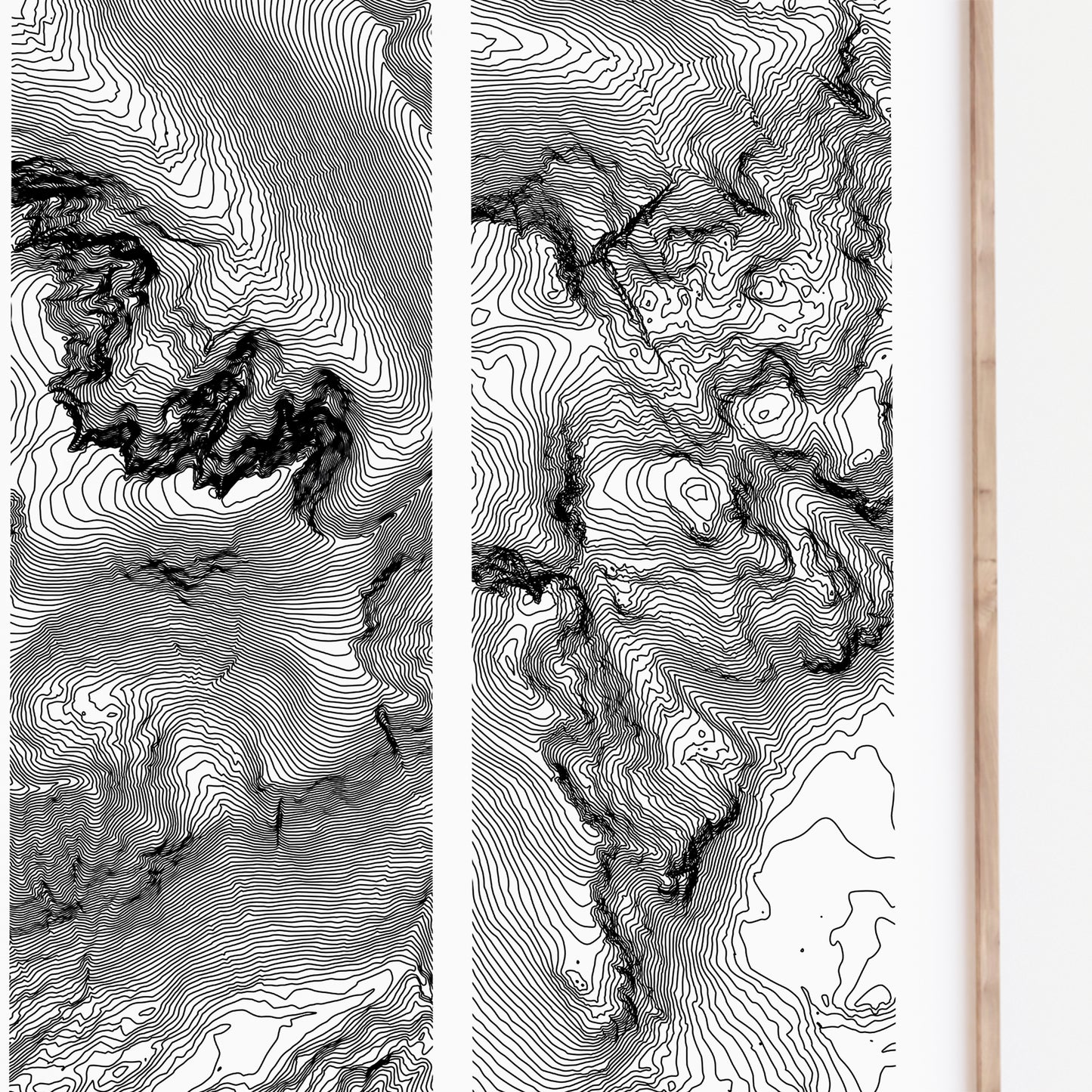
Our topographic map prints are created using high resolution LiDAR data which is processes and presented with the aim of opening a new perspective on natural landscapes. You may even be able to pick out your favourite hiking trails and mountain routes.
-
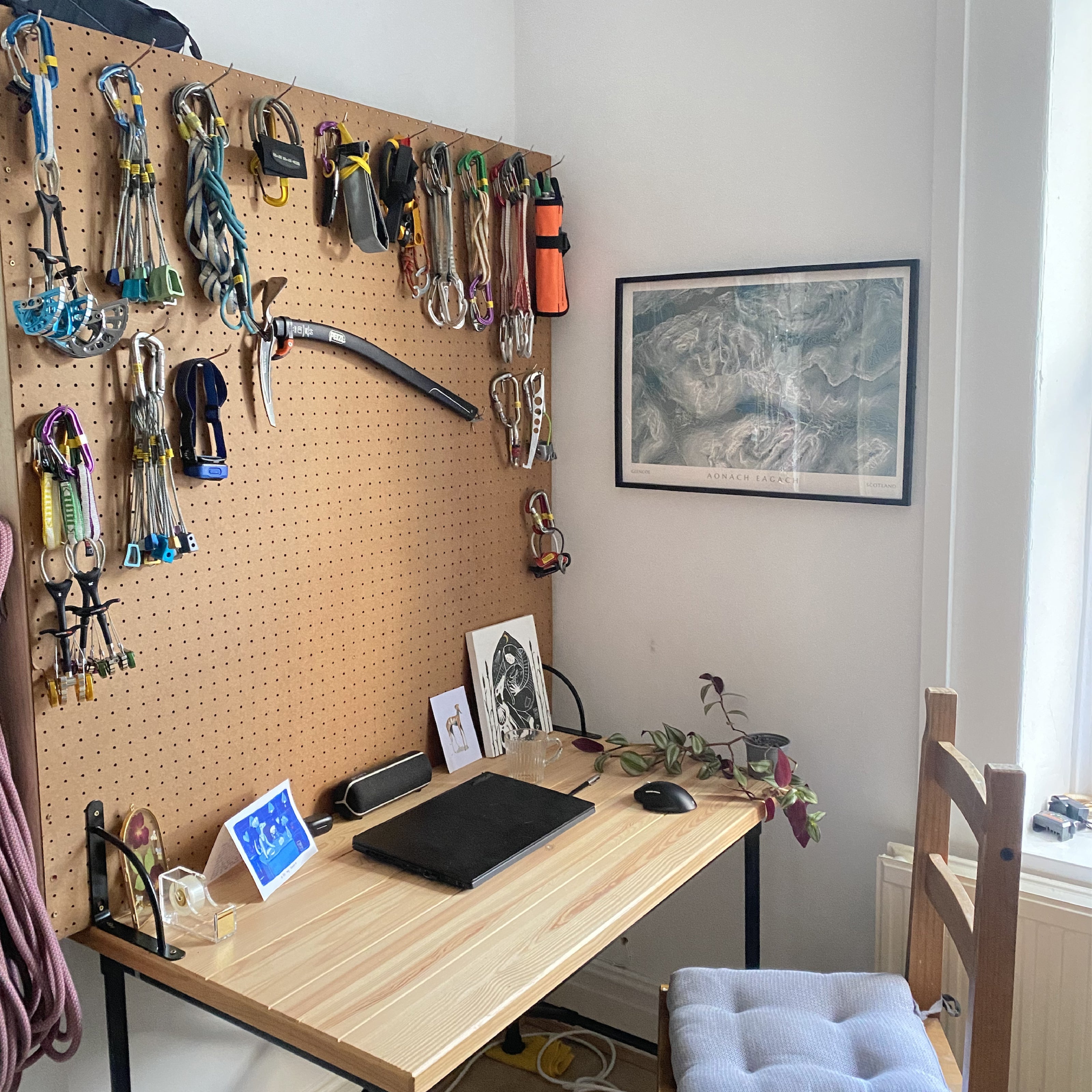
★★★★★ Sarah ✅
Seller made a custom size and landscape format print, quality is great!
-
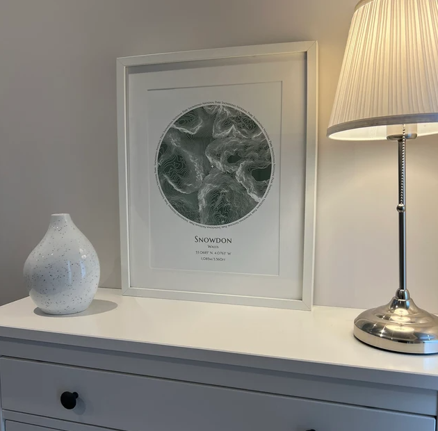
★★★★★ Joanna ✅
Such lovely artwork and great quality. Really pleased with it
-
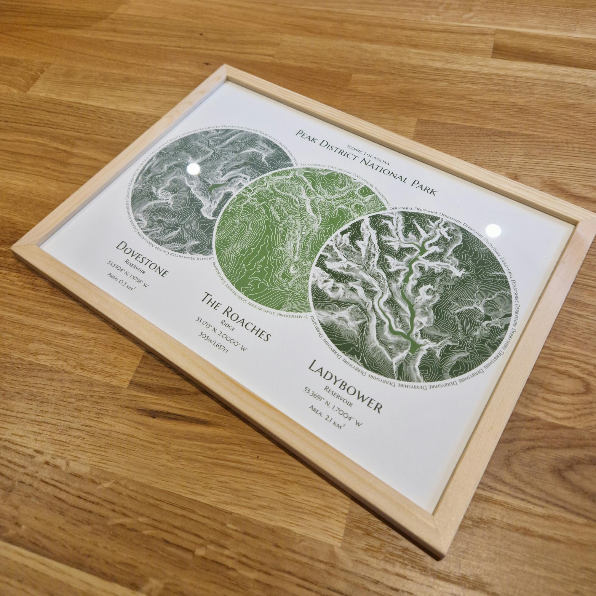
★★★★★ Andrew ✅
Rob went above and beyond to create a personalised piece for us. He has created an amazing piece of art.
Frequently Asked Questions
What if i need a custom size?
Get in-touch, we can print almost any size up to a maximum of 59x81cm (32x23.2 inches)
Do you offer framing?
Get in-touch, we can offer certain standard frame sizes if they are needed. We are looking to offer frames for all print sizes in the near future.
How are prints packaged?
A4 prints are shipped protected in ridged in flat boxes.
A3 and above are rolled and shipped in poster tubes.
What is your artwork printed on?
All of our prints are made using 285gsm archival matte paper. This medium offer stunning bold colours and extremely crisp blacks.
How long will it take to get my print?
All orders are processed and shipped within 1-2 business days. We use a 48 hour fully tracked service provided by Royal Mail so once your order has been shipped, you can expect delivery within 2-3 working days. Please allow 1 extra working day for A2+ and custom sizing.
