Collection: High Resolution Topographic Contour Maps
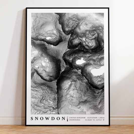
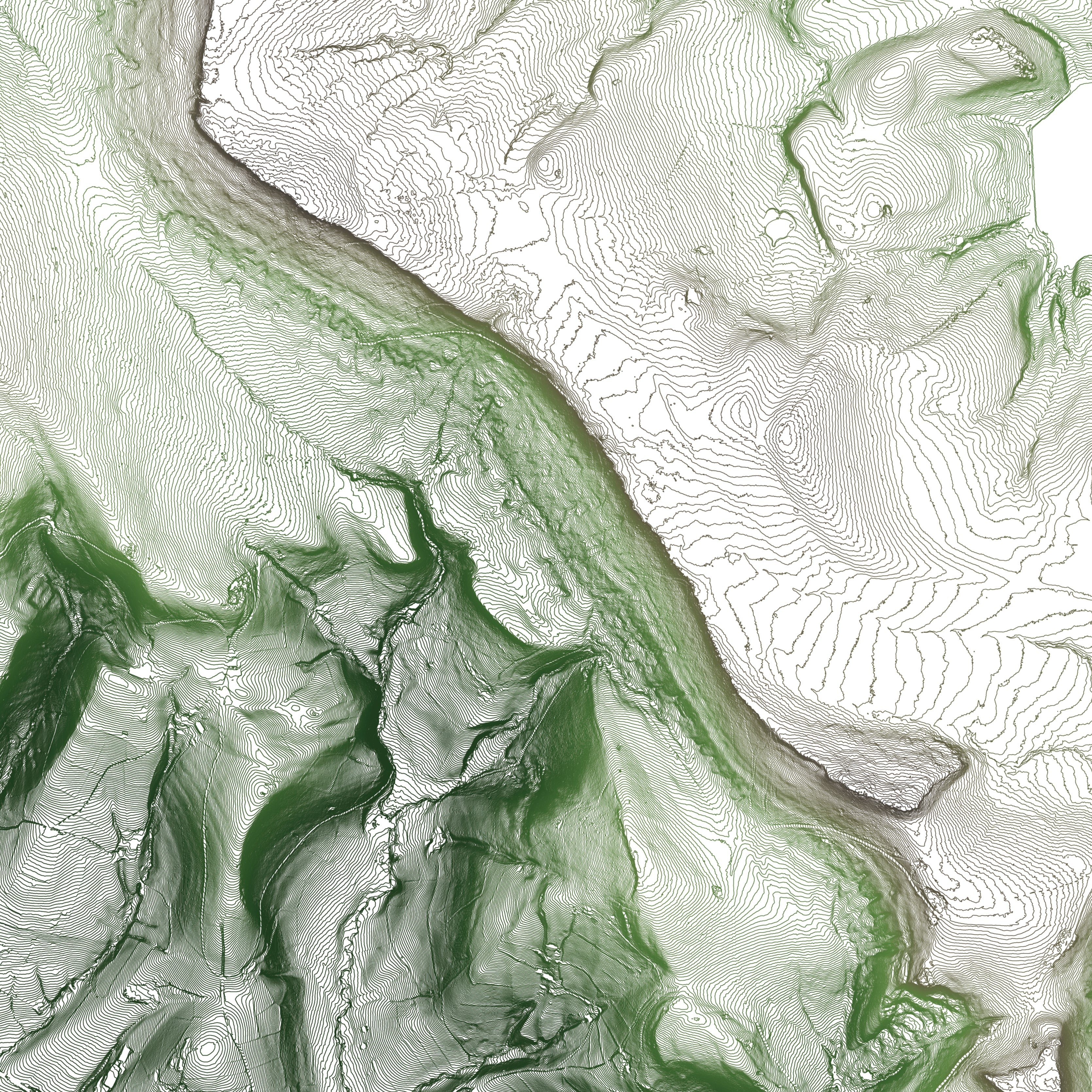
Our High Resolution series cover iconic mountain summits and ridges from across the UK & Europe including The Lake District National Park and Snowdonia. Topographic contours in these maps are typically spaced at elevation intervals of 4 meters meaning that they closely mirror the natural landscape even down the boulder level. If you're looking for unique art, a gift for a hiker, travel memento or just a classic travel poster you're in the right place. Available in A2, A3 & A4 and standard UK Frame Sizes.
-
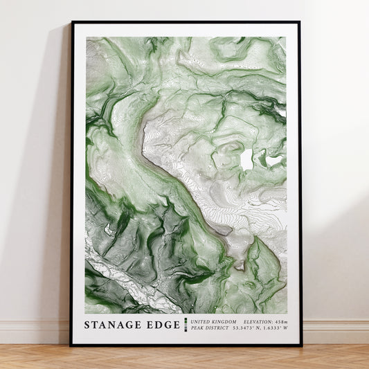
Stanage Edge Peak District Topographic Map Print
Regular price From £21.99Regular priceUnit price / per -
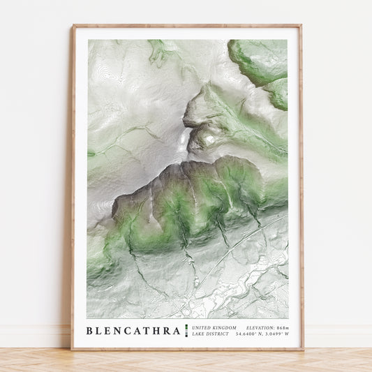
Blencathra & Sharp Ridge Lake District Topographic Map Print
Regular price From £21.99Regular priceUnit price / per -
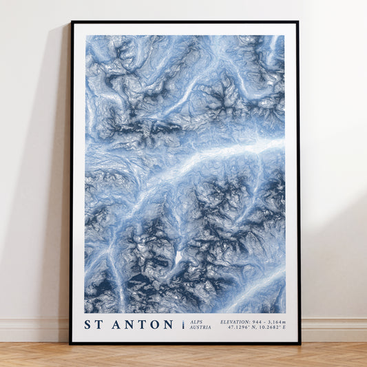
St Anton am Arlberg Austria Topographic Map Print
Regular price From £21.99Regular priceUnit price / per -
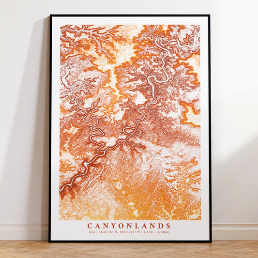
Canyonlands Poster Topographic Map Print
Regular price From £21.99Regular priceUnit price / per -
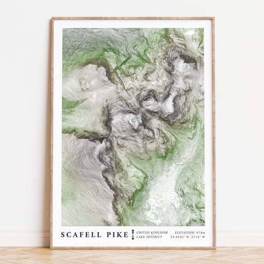
Scafell Pike Lake District Topographic Contour Map Print
Regular price From £21.99Regular priceUnit price / per -
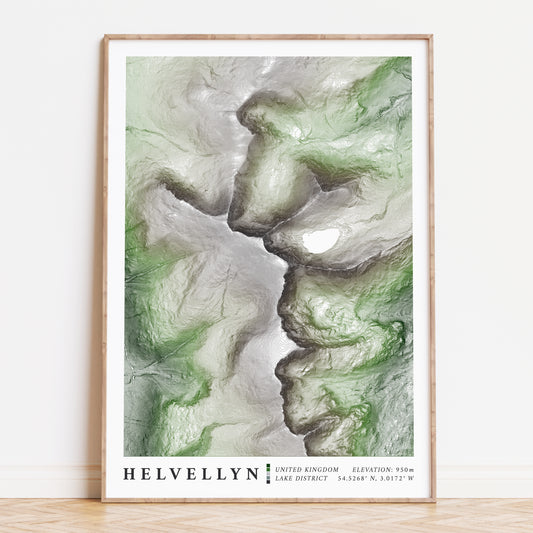
Helvellyn Lake District Topographic Art Map Print
Regular price From £21.99Regular priceUnit price / per -
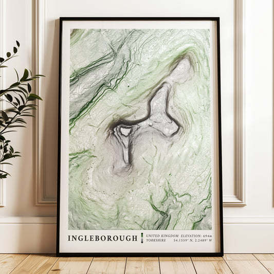
Ingleborough Map Print Yorkshire 3 Peaks Poster
Regular price From £21.99Regular priceUnit price / per -
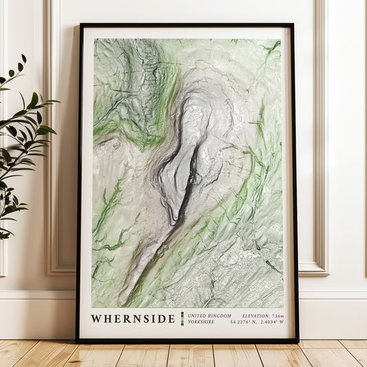
Whernside Map Print Yorkshire 3 Peaks Poster
Regular price From £21.99Regular priceUnit price / per -
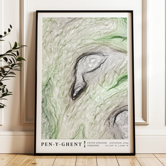
Pen-y-Ghent Map Print Yorkshire 3 Peaks Poster
Regular price From £21.99Regular priceUnit price / per -
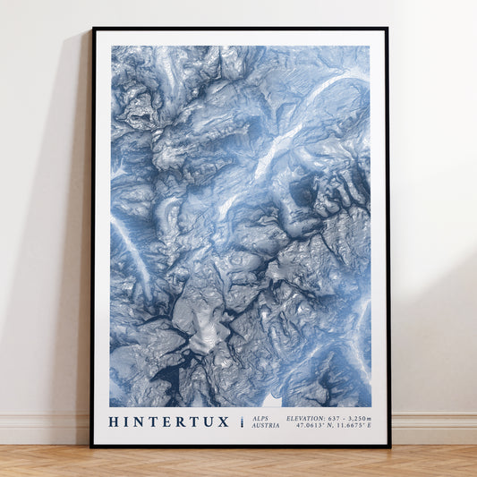
Hintertux Glacier Austria Topographic Map Print
Regular price From £21.99Regular priceUnit price / per -
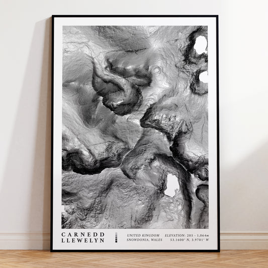
Carnedd Llewelyn Wales Topographic Map Print
Regular price From £21.99Regular priceUnit price / per -
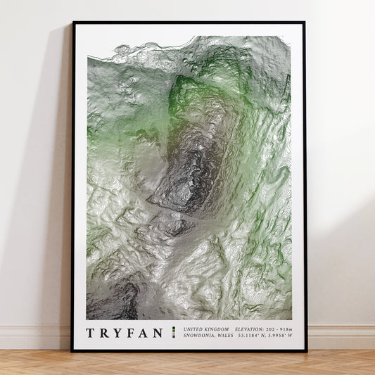
Tryfan Snowdonia Topographic Map Print
Regular price From £21.99Regular priceUnit price / per -
Snowdon Horseshoe & Crib Goch Topographic Map Print
Regular price £32.99Regular priceUnit price / per -
The Roaches Peak District Topographic Map Print 1
Regular price From £21.99Regular priceUnit price / per -
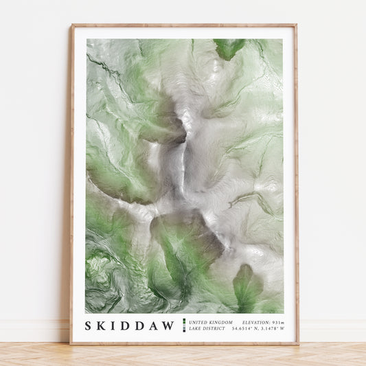
Skiddaw Lake District Topographic Map Print
Regular price From £21.99Regular priceUnit price / per -
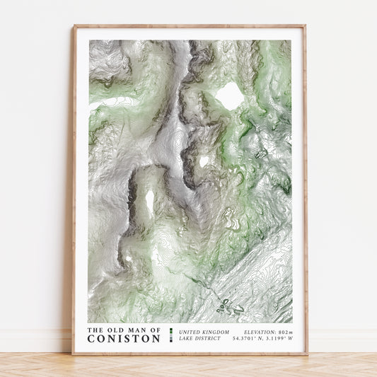
Old Man of Coniston Lake District Topographic Map Print
Regular price From £21.99Regular priceUnit price / per -
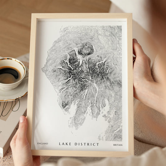
The Lake District National Park Topographic Contour Art Map Print
Regular price From £12.99Regular priceUnit price / per -
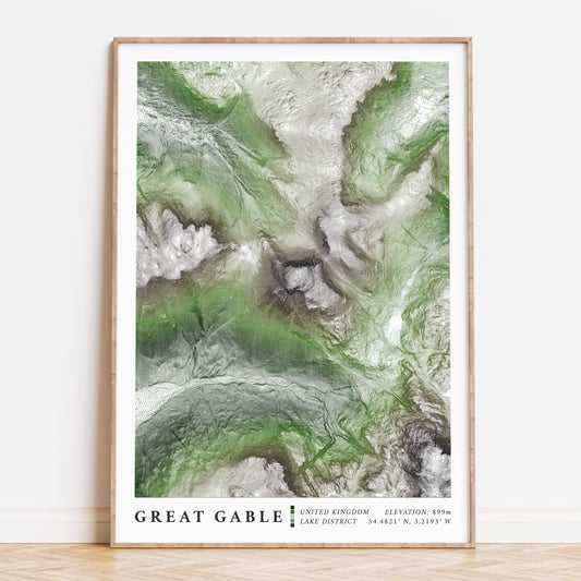
Great Gable Topographic Contour Map Print
Regular price From £21.99Regular priceUnit price / per -
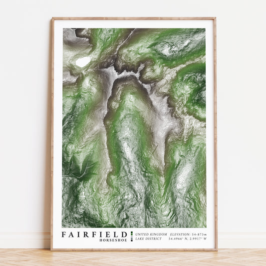
Fairfield Horseshoe Lake District Topographic Map Print
Regular price From £21.99Regular priceUnit price / per

